
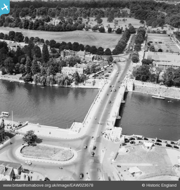
EAW023678 ENGLAND (1949). Hampton Court Bridge, Hampton, 1949
© Hawlfraint cyfranwyr OpenStreetMap a thrwyddedwyd gan yr OpenStreetMap Foundation. 2024. Trwyddedir y gartograffeg fel CC BY-SA.
Delweddau cyfagos (15)
EAW023678

EPW031569

EPW001715

EPW031565

EPW008867

EPW031575

EAW023682

EPW049599

EAW023680

EPW031567

EAW023681

EPW031570

EPW035253

EAW023679

EPW001716

Manylion
| Pennawd | [EAW023678] Hampton Court Bridge, Hampton, 1949 |
| Cyfeirnod | EAW023678 |
| Dyddiad | 12-June-1949 |
| Dolen | |
| Enw lle | HAMPTON |
| Plwyf | |
| Ardal | |
| Gwlad | ENGLAND |
| Dwyreiniad / Gogleddiad | 515386, 168540 |
| Hydred / Lledred | -0.34096798340973, 51.403641812184 |
| Cyfeirnod Grid Cenedlaethol | TQ154685 |
Pinnau
 Patron |
Sunday 27th of July 2014 01:37:39 PM | |
Pip |
Thursday 16th of January 2014 08:39:10 PM | |
Pip |
Thursday 16th of January 2014 08:38:29 PM | |
Pip |
Thursday 16th of January 2014 08:38:10 PM | |
Pip |
Thursday 16th of January 2014 08:37:47 PM | |
Pip |
Thursday 16th of January 2014 08:37:17 PM | |
Pip |
Thursday 16th of January 2014 08:36:55 PM |


