
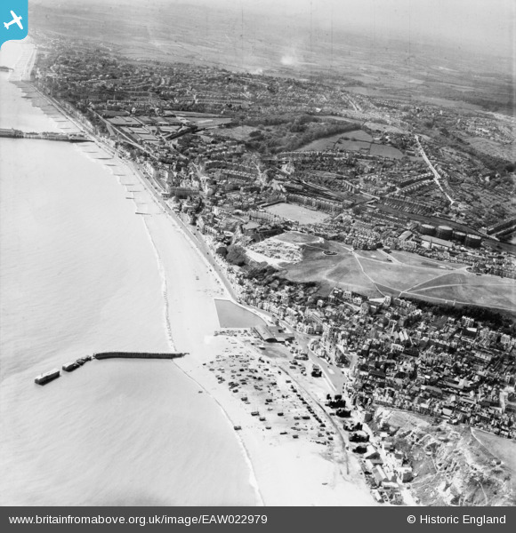
EAW022979 ENGLAND (1949). The seafront and town, Hastings, from the east, 1949
© Hawlfraint cyfranwyr OpenStreetMap a thrwyddedwyd gan yr OpenStreetMap Foundation. 2024. Trwyddedir y gartograffeg fel CC BY-SA.
Delweddau cyfagos (5)
EAW022979

EAW002398

EAW002397

EPW026187

EAW002399

Manylion
| Pennawd | [EAW022979] The seafront and town, Hastings, from the east, 1949 |
| Cyfeirnod | EAW022979 |
| Dyddiad | 6-May-1949 |
| Dolen | |
| Enw lle | HASTINGS |
| Plwyf | |
| Ardal | |
| Gwlad | ENGLAND |
| Dwyreiniad / Gogleddiad | 582880, 109396 |
| Hydred / Lledred | 0.59857219300243, 50.854564896717 |
| Cyfeirnod Grid Cenedlaethol | TQ829094 |
Pinnau
 Alan McFaden |
Sunday 14th of December 2014 03:50:17 PM | |
Alan McFaden |
Sunday 14th of December 2014 03:49:32 PM | |
Alan McFaden |
Sunday 14th of December 2014 03:45:52 PM |


