
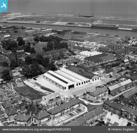
EAW016361 ENGLAND (1948). The Matthes Ltd Sunshine Bread Bakery on England's Lane, Gorleston-on-Sea, 1948. This image has been produced from a print.
© Hawlfraint cyfranwyr OpenStreetMap a thrwyddedwyd gan yr OpenStreetMap Foundation. 2024. Trwyddedir y gartograffeg fel CC BY-SA.
Delweddau cyfagos (9)
EAW016361

EAW016357

EAW016358

EAW016362

EAW016354

EAW016356

EAW016360

EAW016355

EAW016359

Manylion
| Pennawd | [EAW016361] The Matthes Ltd Sunshine Bread Bakery on England's Lane, Gorleston-on-Sea, 1948. This image has been produced from a print. |
| Cyfeirnod | EAW016361 |
| Dyddiad | 8-June-1948 |
| Dolen | |
| Enw lle | GORLESTON-ON-SEA |
| Plwyf | |
| Ardal | |
| Gwlad | ENGLAND |
| Dwyreiniad / Gogleddiad | 652703, 304058 |
| Hydred / Lledred | 1.7300303915877, 52.575154045973 |
| Cyfeirnod Grid Cenedlaethol | TG527041 |
Pinnau
 redmist |
Wednesday 19th of January 2022 01:12:18 PM | |
redmist |
Wednesday 19th of January 2022 01:11:53 PM | |
redmist |
Monday 17th of January 2022 11:26:09 PM | |
redmist |
Monday 17th of January 2022 10:01:51 PM |


