
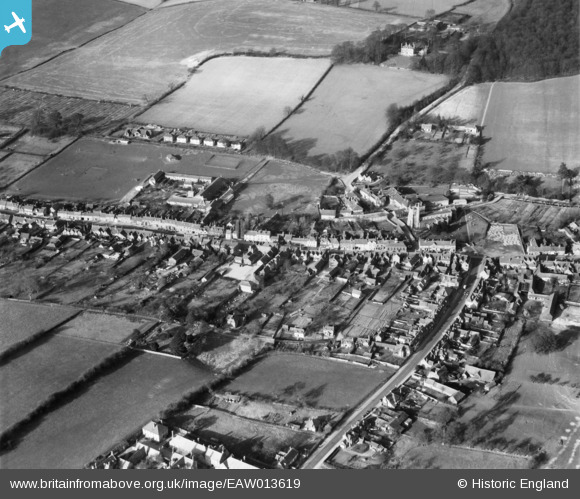
EAW013619 ENGLAND (1948). The High Street, Whielden Street and environs, Amersham Old Town, 1948
© Hawlfraint cyfranwyr OpenStreetMap a thrwyddedwyd gan yr OpenStreetMap Foundation. 2024. Trwyddedir y gartograffeg fel CC BY-SA.
Delweddau cyfagos (13)
EAW013619

EAW013620

EPW021360

EAW013622

EPW021361

EPW021362

EAW013623

EPW017830

EPW017835

EPW021359

EPW017831

EAW013618

EAW013621

Manylion
| Pennawd | [EAW013619] The High Street, Whielden Street and environs, Amersham Old Town, 1948 |
| Cyfeirnod | EAW013619 |
| Dyddiad | 9-March-1948 |
| Dolen | |
| Enw lle | AMERSHAM OLD TOWN |
| Plwyf | AMERSHAM |
| Ardal | |
| Gwlad | ENGLAND |
| Dwyreiniad / Gogleddiad | 495673, 197364 |
| Hydred / Lledred | -0.61647123148799, 51.666433853261 |
| Cyfeirnod Grid Cenedlaethol | SU957974 |
Pinnau
 bondi |
Monday 15th of February 2021 06:02:09 PM |


