
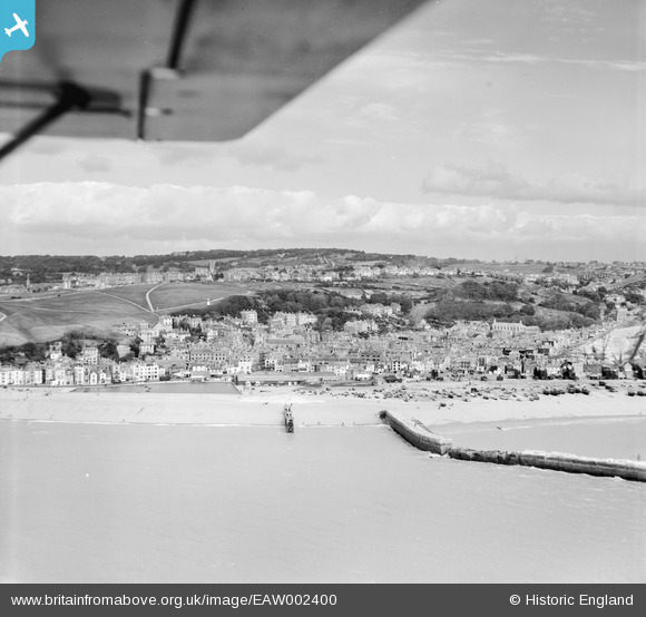
EAW002400 ENGLAND (1946). The seafront and West Hill, Hastings, from the south, 1946
© Hawlfraint cyfranwyr OpenStreetMap a thrwyddedwyd gan yr OpenStreetMap Foundation. 2024. Trwyddedir y gartograffeg fel CC BY-SA.
Delweddau cyfagos (11)
EAW002400

EPW026196

EPW039362

EPW018304

EPW026195

EAW022978

EPW000675

EPW026187

EAW002401

EPW042837

EPW039368

Manylion
| Pennawd | [EAW002400] The seafront and West Hill, Hastings, from the south, 1946 |
| Cyfeirnod | EAW002400 |
| Dyddiad | 16-September-1946 |
| Dolen | |
| Enw lle | HASTINGS |
| Plwyf | |
| Ardal | |
| Gwlad | ENGLAND |
| Dwyreiniad / Gogleddiad | 582487, 109599 |
| Hydred / Lledred | 0.59309531028082, 50.856512850141 |
| Cyfeirnod Grid Cenedlaethol | TQ825096 |


